lifestyle
Getting around Delhi by Metro: a rapid-transit system built for the capital region
Delhi Metro serves Delhi and adjoining satellite cities through a network of underground, elevated and at-grade sections.
Listen in English · 4 min
How we reported this
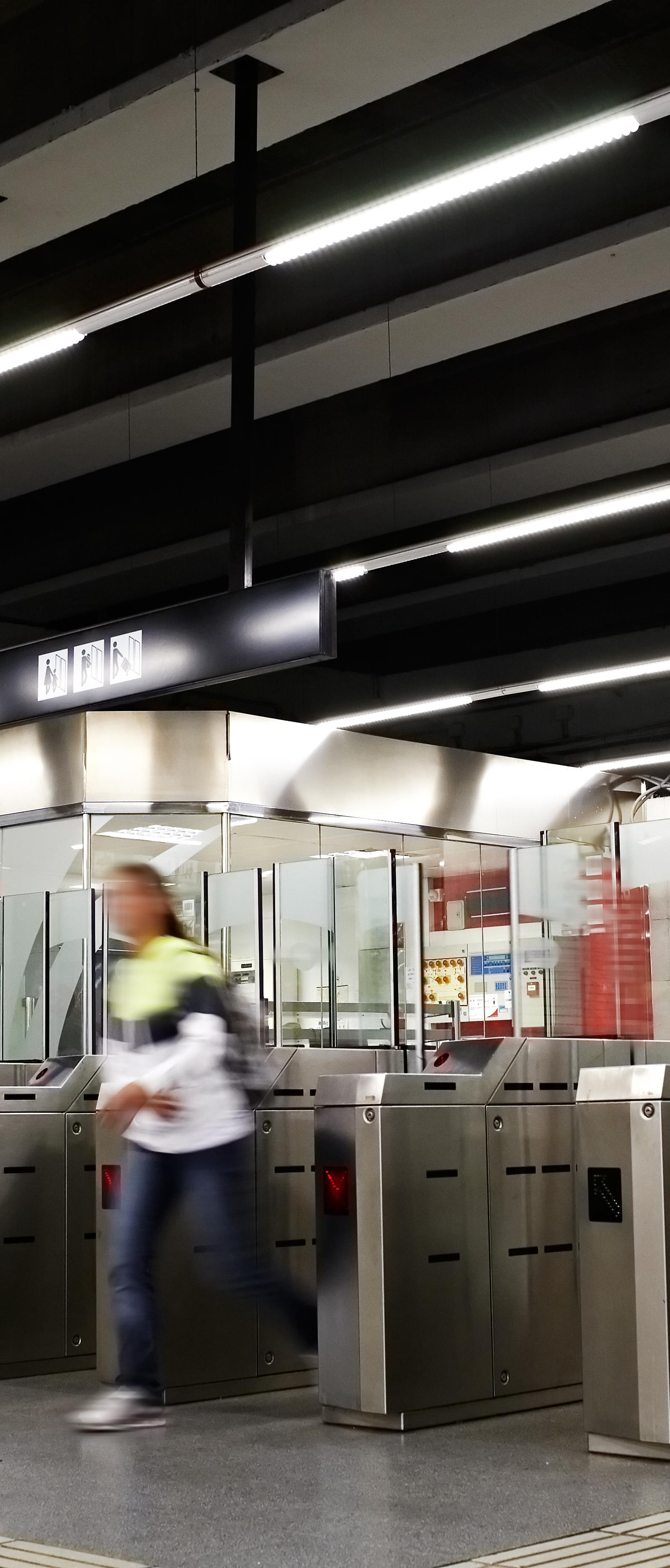
Delhi Metro is the rapid-transit system serving Delhi and several adjoining satellite cities, including Faridabad, Gurugram, Ghaziabad, Noida, Bahadurgarh and Ballabhgarh. For residents and visitors, it is the clearest way to understand how the capital’s transport network extends beyond the boundaries of one municipal area.
The system includes underground, elevated and at-grade sections. That mix reflects the different spaces through which the lines travel. In central and densely built areas, trains can run underground; elsewhere, elevated viaducts and surface sections form part of the route.
Delhi Metro began operations in 2002. The first section ran between Shahdara and Tis Hazari on the Red Line. The network then expanded through additional corridors and extensions, turning an initial east-west section into a regional system with multiple lines and interchanges.
The Wikipedia description identifies lines by colour, including the Red, Yellow, Blue, Green, Violet, Airport Express, Pink, Magenta, Grey and Rapid Metro corridors. Some routes extend beyond Delhi into the National Capital Region. The result is a system that connects residential areas, commercial districts and transport hubs across a wide geography.
Using the Metro as a Delhi orientation tool means thinking in corridors rather than isolated destinations. A station may sit in Delhi proper while the next part of a route reaches a neighbouring city. The network’s importance lies in that regional reach, as well as in the way its different construction types have been fitted into the capital’s dense urban landscape.
The network’s development is a story of staged expansion. The first operational section opened in 2002 between Shahdara and Tis Hazari on the Red Line. Later corridors added new directions and interchanges, while extensions carried the system into neighbouring cities. This is why Delhi Metro is more than a central-city service: its map reflects the daily links between Delhi and the National Capital Region.
The colour-coded lines also show the scale of that expansion. Red, Yellow, Blue, Green, Violet, Pink, Magenta, Grey and Airport Express routes form parts of the wider system, while Rapid Metro is included in the regional network described by the source. Underground, elevated and at-grade sections allow the same transport system to operate across very different parts of the capital.
Delhi Metro’s defining story is expansion: a first 2002 section between Shahdara and Tis Hazari grew into a colour-coded network serving Delhi and neighbouring satellite cities. Its underground, elevated and at-grade sections reflect the different urban spaces the system crosses.